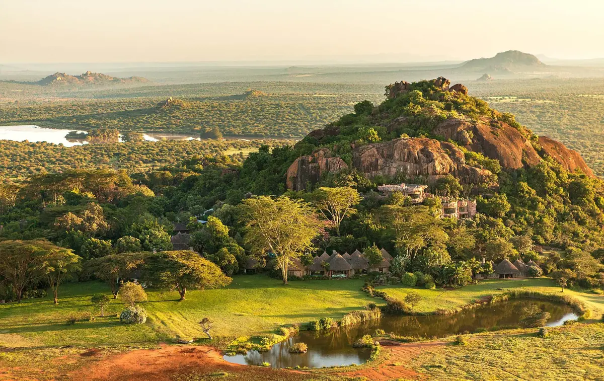
The Laikipia Plateau in short
Laikipia is a county in central Kenya and also the name of the highland plateau that covers much of it. The plateau is a landscape of grass, bush and rocky hills, and it holds a patchwork of ranches and conservancies rather than a single national park. Nanyuki is its best-known town and the usual gateway for visitors.
Ol Pejeta Conservancy is the area most travellers know. It is a private, non-profit conservancy, not a national park, and its fees and rules are its own. If you want a guided day without sorting out the gates, look at the Ol Pejeta day trips.
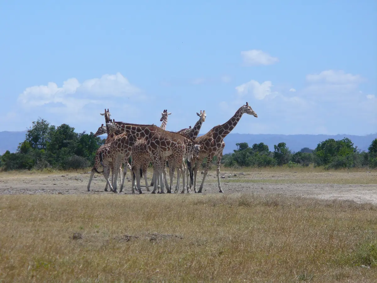
Laikipia conservancies and wildlife corridors
Why animals here do not stop at a fence line.
Linked land
Ol Pejeta is connected to neighbouring ranches and conservancies by wildlife corridors. The habitat for animals reaches beyond the boundary of any single protected area, which is why numbers in one place can change over the year.
Gaps for elephants
Specially built openings let elephants move between Ol Pejeta and the neighbouring conservancies. They are designed to hold rhinos back at the same time. You may see elephants one week and not the next.
Views of two mountains
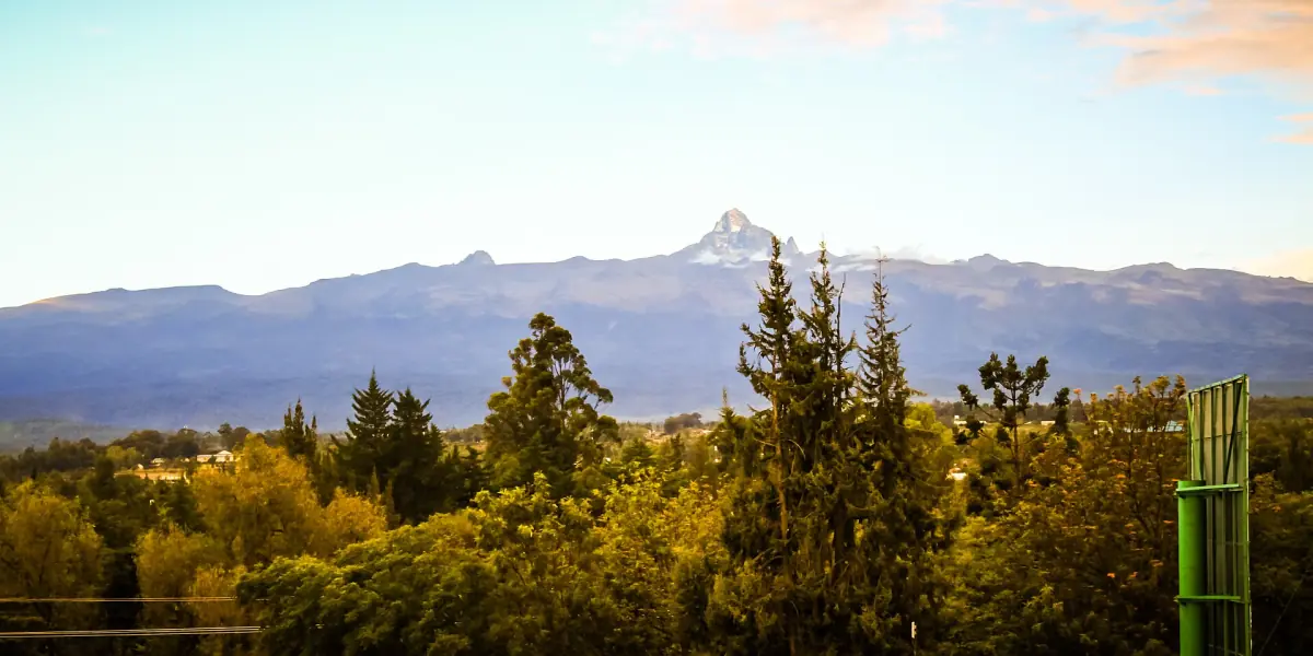
Mount Kenya is close, and the views reach toward both Mount Kenya and the Aberdare range. Clear mornings give a good chance of seeing the peaks.
Our pick: Ol Pejeta and Mount Kenya
This overnight tour combines a day in the conservancy with a night and a hike near Mount Kenya, with entries and fees in the price.
Hand-picked tours, booked through GetYourGuide. Prices are indicative starting prices in US dollars (as of October 2026). Tap a tour for live availability and the current price in your currency.
Laikipia tours from Nanyuki and Nairobi
Game drives, rhino and chimpanzee visits and day trips, with live prices and availability.
Lewa Wildlife Conservancy and the north
Lewa Wildlife Conservancy lies in the wider region. A regional airline serves Nanyuki, Lewa and Samburu in one scheduled network, but that does not mean there is a daily direct flight for every pair of places, or one ticket that covers entry to all of them. Check each leg before you build a combined trip.
Lewa has its own guide at Lewa Wildlife Conservancy, and Samburu is covered on the same site. Ol Pejeta fees do not apply there.
Regional travel notes
Calm and general.
UK advice
The UK foreign office notes security operations in parts of Laikipia and nearby counties linked to cattle theft, banditry and conflict. It warns that short-notice restrictions on movement are possible. This is a regional note and not a ban on travel to the whole county.
German advice
The German foreign office advises extra caution in the area where Laikipia, Meru and Isiolo meet, and mentions growing disputes over grazing and land in Laikipia and the surroundings. It is not a notice about Ol Pejeta in particular.
US advice
The US advisory lists Kenya at Level 3 because of health risks. It applies to the whole country and not to a single area.
Read the current advice for your country shortly before you travel, and ask your lodge or driver about the road on the day. Entry rules for 2026 are summarised in the getting there guide.
Plan the rest of your trip
More from the area.
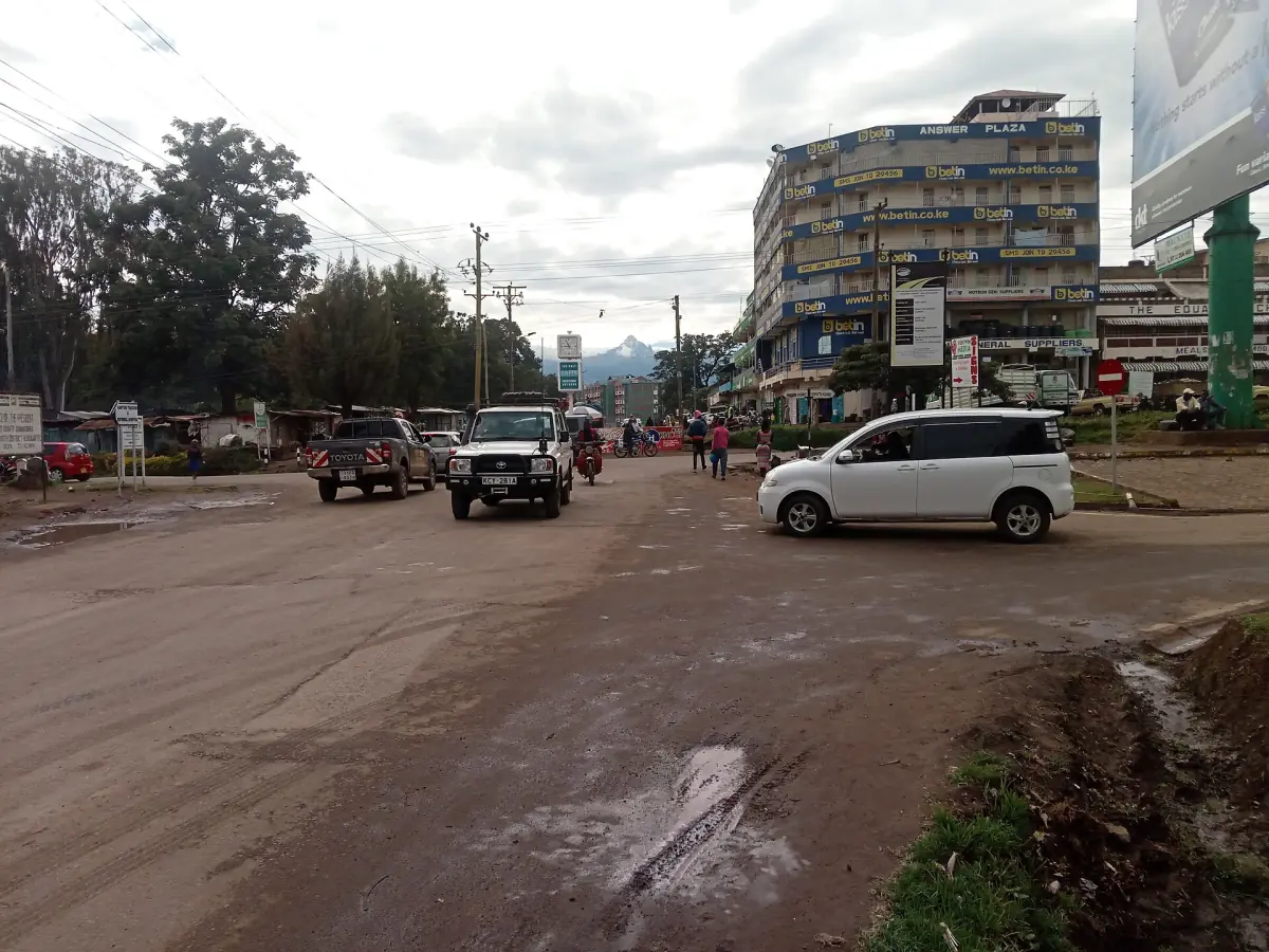
Nanyuki
The gateway town, its markets and the road to the gates.
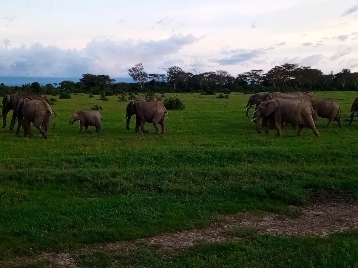
Wildlife at Ol Pejeta
Big Five, Grevy's zebra and more, with no guarantees.
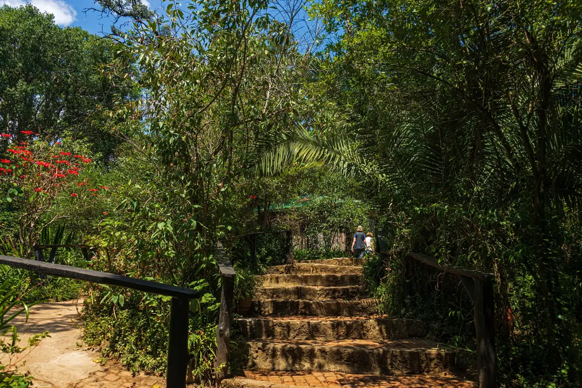
Where to stay
Town stays, camps and campsites.
The mountain to the south is covered at Mount Kenya National Park.
Laikipia: frequently asked questions
Is Laikipia a national park?
No. Laikipia is a county and a plateau. Wildlife areas there are mostly private ranches and conservancies, each with its own fees and rules.
How big is Laikipia?
Laikipia County covers 9,462 km². That is an administrative figure, and the plateau itself has no exact size.
Is Laikipia safe to visit?
Governments note security operations in parts of Laikipia and nearby counties, and short-notice movement limits are possible. Read your country's current advice, and ask your lodge about the road before each trip.
Can I combine Ol Pejeta with Lewa or Samburu?
Yes, with planning. A regional airline links Nanyuki, Lewa and Samburu, but not every pair has a daily flight, and entry fees are separate. See the guides for Lewa and Samburu.
Is this the official Laikipia or Ol Pejeta website?
No. This is an independent guide. It is not run by, or connected to, Ol Pejeta Conservancy, the county government, the Kenya Wildlife Service or any operator.